Wednesday 31 December 2014

Kofa National Wildlife Refuge


14 December 2014   King of Arizona (Kofa) Mine

The mine only lasted for 13 years but the name contraction lives on after the Arizona Boy Scouts campaigned to set up a bighorn sheep refuge starting in 1936. This resulted in over 1.5 million acres being set aside between Kofa and Cabeza Prieta National Wildlife Refuge in 1939.


So far we have walked the Horse Tanks and Palm Canyon Trails (coming up). Easy going if you stay out of the cacti and remain vertical. There are opportunities to hurt yourself if you do dumb things. I will demonstrate at the Horse Tanks.

Horse Tanks

Just like you I thought this was a place you kept your horse or gave him a bath in after a dusty ride. But we are both wrong – westerners call ponds and pools (at least the natural ones) tanks. I’m thinking tanks are where you put your gas or hot water. So here is a tank western style:


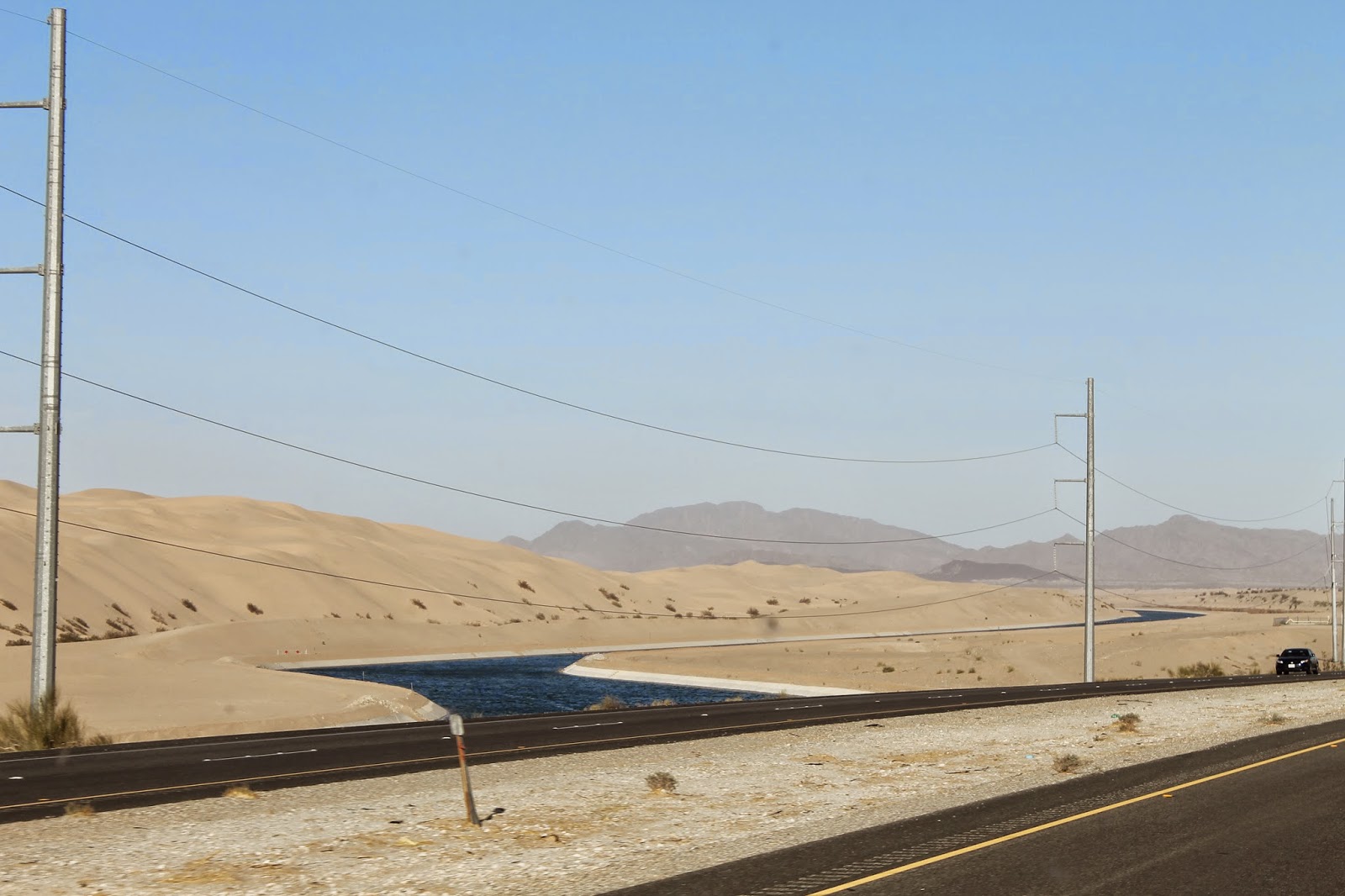
To get to the tanks you can drive your jeep on the jeep road or you can walk. We brought Smiley who gets treated like a truck, is a 4X4, but really doesn’t have the clearance of a true jeep. We walked.


 Between desert vistas and gorgeous flora we were entertained fully on the 2 mile walk (could be longer) in to the parking area. Then up a short trail to the tanks. Just before the largest tank I showed how lack of attention to your footing can result in a small slip. No biggie unless you are right next to an opportunistic teddy bear cholla. Just brush the little buggers and they latch on with hooked barbs:


Can’t blame the cholla – it’s not like they can walk around spreading their offspring. You just have to yank ‘em out with your pliers and do the spreading. BTW – you must carry pliers when hiking out here.

We had lunch out here in the silence. All you could hear was the gentle breeze.


I spared you the selfie.

If you look closely (or pay attention when Norene says “I hear a bee buzzing”) you might find a bee at one of the small tanks. Hard to see in the bright sun so I enlarged the picture:


Norene says these holes were used by indigenous people for grinding:


This was the place where we met the self conscious saguaros. These ones may seem familiar:


Palm Canyon

As we climbed up the Palm Canyon Trail (some steepish parts) I’m thinking this will end  with a climb down to some sort of oasis to see the palms. So lots of climb for the money (actually Kofa is free) and a relaxing time by the spring (tank?).


It was not until we got to the end of the trail and saw a sign pointing up further that we realized these hardy palms are above us. No oasis here.


Ain’t going to be up close and personal with these guys. Theory is they are leftovers from a former seashore or traveled here by bird or animal (ingested and ejected seeds) from California. Doesn’t really matter – this is worth the little ½ mile jaunt up here.


There are a ton of other places to go in Kofa – we’ll be back.


Tuesday 30 December 2014

Checking out the Salton Sea


23 November 2014   Desert Hot Springs to almost Los Algodones Mexico

We’ve made a few small mistakes as we’ve bumbled our way through life. But we’ve never accidentally created a huge lake and flooded out our neighbours. That’s what the folks who were hired to ramp up irrigation did in the very early 1900’s in the Colorado Valley of Southern California. They “oops’d” the Salton Sea – currently a salty lake (more salinity than the Pacific) measuring 15 miles by 35 miles - by overzealous canal work.


Two routes parallel the Sea. West side has Highway 86 - a fast four lane divided  freeway. The east side is old highway 111 – bumpy , twisty and slow. We took 111 of course.


The Sea is getting smaller and saltier. Although there are folks who want to turn it into something more permanent big money is needed and that’s something California hasn’t had for a while. Best advice? – go soon and see it – it’s looking a little run down.  


Business is a little slow...
 
We picked our way through the countryside and popped into the Hot Springs LTVA just west of Holtville. Couldn’t stay because we had a dental appointment coming up so we headed to the Quechan Casino lot just north of the Mexico border. Dentist was chosen for my implant work but I was gracious enough to let Norene try her out first. Lucky for both of us Dr. Bastidas is an excellent dentist.

Want some contrasts? Try these…

Why not water in the middle of the day?
The canal running through the desert sands
US and Mexico side by side. Fantastically different from each other.
One of the outstanding features of the desert is spectacular sunsets. Even this poorly done example shows the fabulous colours:


Maybe a nightcap would go well with the sunset. I’ll stay here to supervise while you pour.


Monday 29 December 2014

Even more Joshua Tree National Forest


21 November 2014   Hidden Valley Trail

Bill Keys decided that Hidden Valley was a little to hard to get into so he blowed up the entrance real good.


Made it possible for us to get a nice short walk in a former grazing area. As you can see, unless cows like crispy trees and bushes there is no longer abundant feed for them. Explains why we saw no cattle.

Saw lots of rocks:


Some education of course:

 
Because of the dry climate a tree can die and its skeletal remains will linger for years. I believe this was a juniper tree:


Up close you can see how twisted the wood was:

 
Might explain why we don’t see a lot of juniper furniture.

If you are in the mood to personify some rocks take a gander below. If not you have reached the end of anything interesting and are now released.


Still here? What did you see? Hope you agree with me so I win the bet with Norene. GORILLA! DWARF!  (oops did that slip out?) Ignore what you just read and feel free to say whatever comes to mind. I’m trying to be as fair as possible of course.

GORILLA! DWARF!  GORILLA! DWARF!  GORILLA! DWARF!  GORILLA! DWARF!  GORILLA! DWARF!  GORILLA! DWARF!  GORILLA! DWARF!  GORILLA! DWARF!  GORILLA! DWARF!  GORILLA! DWARF!  GORILLA! DWARF!  GORILLA! DWARF!  GORILLA! DWARF!  GORILLA! DWARF!  GORILLA! DWARF!  GORILLA! DWARF!  GORILLA! DWARF!  GORILLA!

oops

Sunday 28 December 2014

More Joshua Tree National Park


21 November 2014   Skull Rock Trail

Norene has talked about seeing Skull Rock in JTNP for years but it was always too far. Today we finally got to see not just that rock but also many others on the Skull Rock Trail.

Skull Rock
Skull Rock and Norene
Throw a little water, some soft rocks and gusting sand laden winds together and you get some pretty whimsical shapes. Bring your imagination:


A two finger salute
Norene sees a face sticking out it's tongue

That line of harder rock is called a dam.
Bummer Dude!


Of course the Parks people also provide some education along the way. You know more stuff when you’re finished but you hardly feel it. If Grade 12 Geography had been held out here I might have hurdled the 60 barrier.


See? You just learned stuff that is completely useless and it was painless.


We started out at the campground end so we didn’t get to see Skull Rock until ¾ through the walk. Turns out it’s right beside the main road but we came from a different direction.


It’s only a little trail (1.7 miles) over pretty easy terrain so almost anyone can walk it. No excuses – do it. You will enjoy the fantastic figures and imagine what fun it will be to argue about what the sculptures are with each other (or among yourself).


 If you waded through to the end without satisfaction perhaps the following art shot will make it worthwhile:

OK it's a glenn shot - art wasn't here.