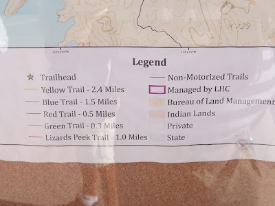
The Blue Trail looks to be the straightest route to the Lake (our objective today) according to the map:
The only concern is trying to figure out just how far it
really is since the map says 1.5 miles but the signposts don’t agree. This trail
marker near the lake end of the Blue left us a bit confused:
Since both the Yellow and Blue end up at the Lake it really doesn’t matter – if you want to get to the
water prepare for a round trip of about 5 miles.
You can see why it’s classed
as moderate – it starts out flattish and develops into relatively easy hilly
terrain…
terminating at Balance Rock (in the foreground). On this dry
70 F day it was a fantastic hike.
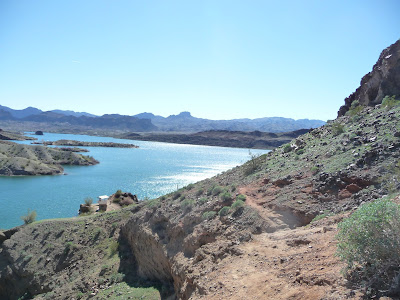
Nearer the water we surprised to see just how much growth
has sprouted since the recent rains. Our target is the little white dot at the
water which is a walk-in/boat-in BLM
campsite:
When we got close enough to the water we realized that the Blue
Trail wasn’t going to take us to the BLM site…
so we switched to the Green Trail for the final leg – this
one is a little more challenging:
I threw in a shot of the trail map to show you the overall
picture. Sorry for the lousy photo but you should be used to it by now.


No comments:
Post a Comment
Please drop us a note here - we'd love to hear from you.